منذ نشأة الحركة الصهيونية، لم يكن نهر الليطاني مجرّد خط أمني على الخريطة، ولا تفصيلًا جغرافيًا عابرًا، بل كان جزءًا من مشروع أوسع، بدأ من الهندسة والمياه والطاقة، وانتقل لاحقًا إلى السياسة والحدود والحرب.
قبل عام 1948، لم يكن كيان العدو قائمًا على الأرض، بل كان فكرة سياسية اسمها الحركة الصهيونية، وهي النواة التي قامت عليها "إسرائيل". عملت هذه الحركة بهدوء على التخطيط لمشروعها، من حيث الاستيطان والحدود والطاقة والاقتصاد، وكان سؤال المياه حاضرًا منذ البداية.
عام 1896، وضع مؤسس الحركة الصهيونية تيودور هرتزل خريطة المنطقة أمامه وطرح السؤال الأساسي: من أين نأتي بالمياه؟ للشرب، والزراعة، والكهرباء، وسائر مقومات البقاء.
وفي عام 1901، طلب هرتزل من المهندس السويسري ماكس بوركات إعداد خطة لاستغلال المياه في "أرض إسرائيل". جاء بوركات إلى المنطقة، وأجرى أبحاثًا حول مصادر المياه، ثم وضع خطة حملت اسم "الخطة العامة لمعالم الطاقة المائية والري في إسرائيل". ومن ضمن هذه الخطة، طُرح وصل نهر الليطاني بنهر الأردن عبر نفق، بهدف زيادة مياهه، وتحويله إلى نهر صالح للملاحة، والاستفادة منه في توليد الكهرباء.
عام 1916، وخلال تقسيم المنطقة بين بريطانيا وفرنسا بموجب اتفاقية سايكس–بيكو، طلبت الحركة الصهيونية من بريطانيا توسيع حدود الانتداب لتشمل نهر الليطاني شمالًا، ومنطقة نهر الأردن حتى الحاصباني في لبنان. وكانت بريطانيا قد وعدت الحركة الصهيونية بإعطائها فلسطين في وعد بلفور، الوعد الذي شكّل أصل البلاء في المنطقة ومهّد لقيام "إسرائيل".
وافقت بريطانيا على الطرح الصهيوني، لكن فرنسا كانت تملك أطماعًا في المناطق نفسها، فبقي الليطاني والحاصباني ضمن النفوذ الفرنسي. ورغم ذلك، لم تتراجع الحركة الصهيونية عن مطلبها.
في مؤتمر السلام في فرساي عام 1919، عادت الحركة الصهيونية لمحاولة فرض رؤيتها. وفي الخريطة التي عرضتها، طالبت بالوصول إلى نهر الأولي في لبنان، أي أبعد بكثير من الليطاني، استنادًا إلى ما اعتبرته حدودًا توراتية، أي مشروع "إسرائيل الكبرى".
حاولت الحركة الصهيونية تمرير هذه المطالب عبر الأساليب الدولية والإعلامية، لكن فرنسا عارضتها، لأنها كانت تعتبر تلك المنطقة جزءًا من حصتها، ولا تريد إضعاف حلفائها الموارنة في لبنان. فالتنازل عنها كان يعني خسارة جزء من نفوذها المباشر.
بعد فشل المعركة السياسية لضم الليطاني إلى "أرض إسرائيل"، لجأت الحركة الصهيونية إلى أساليب أخرى، أبرزها بناء شراكات داخل لبنان مع جهات وشخصيات يمكن أن تتقاطع معها.
عام 1936، نُشر بحث في الجامعة الأميركية في بيروت عن مشروع للطاقة الكهربائية على مستوى المنطقة. أوصى البحث بمنح حق استغلال الليطاني لشركة تخدم صور وصيدا والنبطية ومرجعيون، إضافة إلى صفد في شمال فلسطين. شجعت الحركة الصهيونية الفكرة، لكنها بقيت مجرّد مشروع على الورق.
لاحقًا، تجاوب مع هذه الأفكار مهندس لبناني يُدعى ألبير نقاش، وهو قريب الرئيس ألفرد نقاش. اقترح نقاش بناء معمل إنتاج كهرباء مشترك بين لبنان والدولة اليهودية، بالاستفادة من مياه الليطاني. درست الحركة الصهيونية خطته بعد لقائها به، وأُحيلت للتنفيذ بشكل سرّي، كما جرت جولات ميدانية معه على امتداد النهر.
كانت الخطة تقوم على إنشاء سدود وأحواض على الليطاني في سحمر وحاصبيا ومرجعيون لإنتاج الكهرباء في لبنان وفلسطين، إضافة إلى نقل المياه عبر أنفاق إلى داخل فلسطين لاستخدامها في ري المزروعات داخل "إسرائيل".
اعتبرت فرنسا خطة نقاش مؤامرة بريطانية بغطاء أميركي، تهدف إلى تعديل الحدود بين لبنان وفلسطين وتوسيع النفوذ البريطاني على حساب المصالح الفرنسية، فتوقفت الخطة.
لكن إصرار الحركة الصهيونية استمر عبر خطط هندسية جديدة. ففي عام 1943، اعتمدت على خطة نشرتها شركة مياه "أرض إسرائيل" بإشراف أبراهام روتنبرغ. وفي عام 1944، أُعدّت خطة ثانية على يد الخبير العالمي والتر كلاي لودرملك، ثم ظهرت خطة إضافية عام 1946 من قبل السياسي البريطاني اليهودي هربرت صموئيل.
فشلت هذه الخطط كلها بفعل المعارضة الفرنسية، إلى أن أُعلن قيام "إسرائيل" عام 1948 من دون الليطاني. لكن الضغط لاستغلال النهر على حساب حاجات لبنان بقي ثابتًا في وعي القيادة الصهيونية حتى اليوم، ولم تتخلَّ "إسرائيل" عن أي فرصة لاستغلاله أو تحويله.
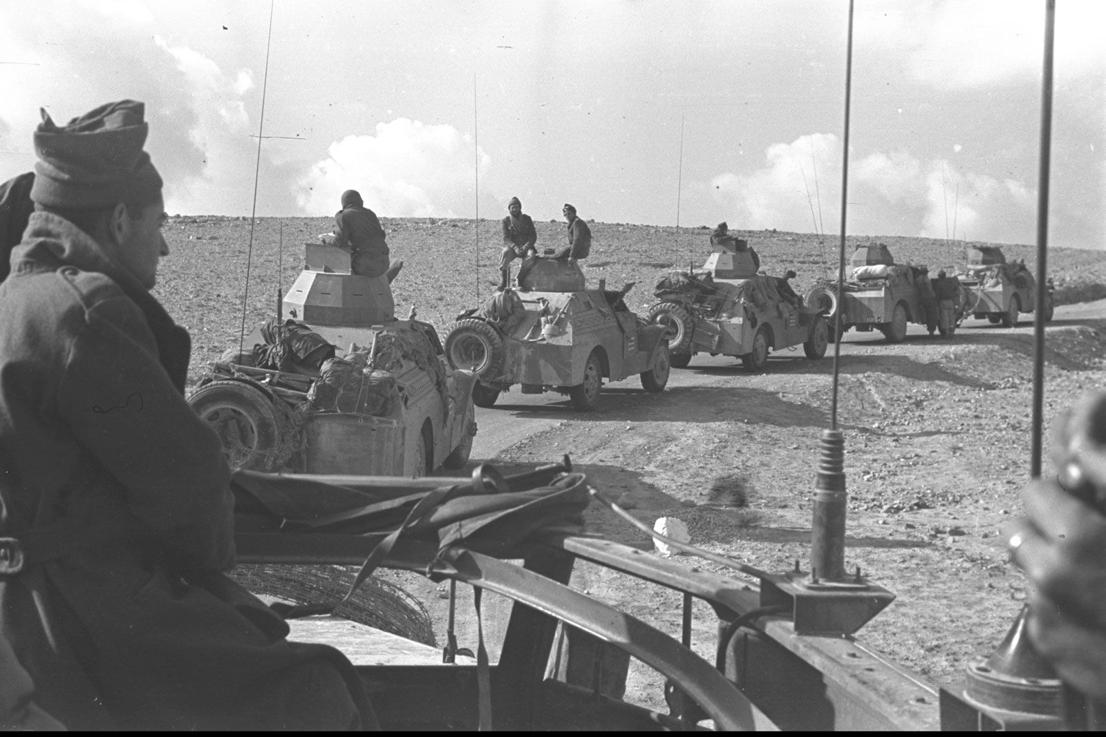
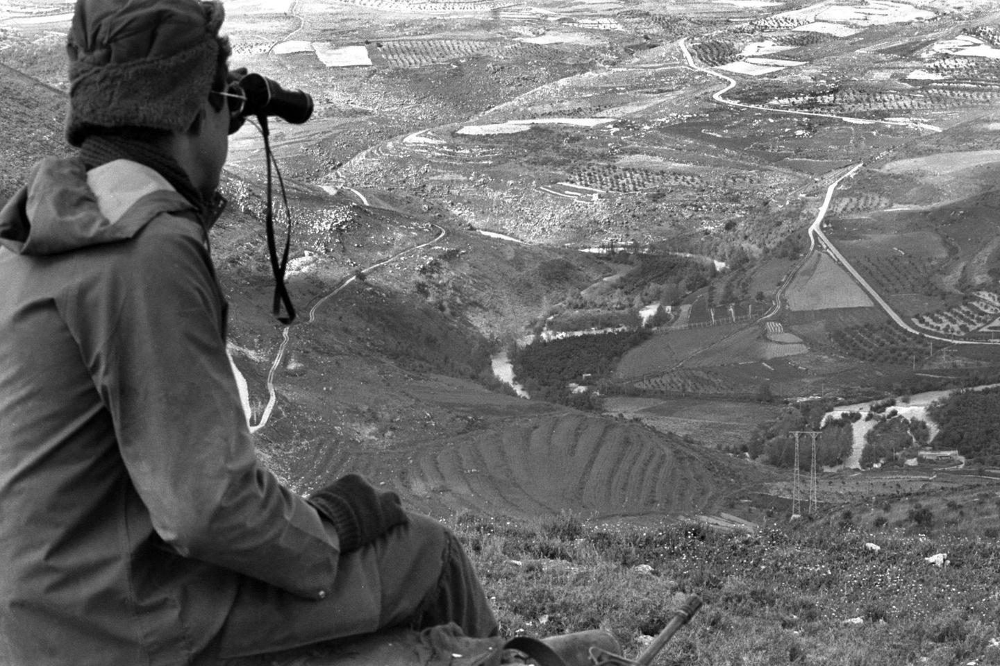
وأحد الأدلة على ذلك ما جرى خلال الاحتلال الإسرائيلي لجنوب لبنان بين عامي 1982 و2000، حين نُفذت أشغال هندسية قرب مجرى الليطاني، وربطت شبكات مياه في القرى الحدودية بشبكة شمال فلسطين المحتلة، في عملية سرقة لمياه النهر. كما سُرقت مياه من نهر الوزاني والمياه الجوفية عبر أنابيب مخفية، بالتوازي مع منع أي مشاريع لبنانية لاستثمار مياه الليطاني.
في الخلاصة، لم يكن نهر الليطاني يومًا تفصيلًا جغرافيًا على خريطة، بل كان جزءًا من مشروع كامل. فكرة الاستفادة من الليطاني موجودة في أساس قيام "إسرائيل"، وولدت قبلها بسنوات طويلة.
زعماء الصهاينة، ومن بينهم بن غوريون، حددوا الليطاني كحدود شمالية لـ"إسرائيل".
Since the emergence of the Zionist movement, the Litani River was not merely a security line on the map, nor a passing geographical detail. It was part of a broader project that began with engineering, water, and energy, and later extended into politics, borders, and war.
Before 1948, the Israeli entity did not yet exist on the ground; it was a political idea known as the Zionist movement—the nucleus upon which “Israel” was later established. This movement quietly worked on planning its project in terms of settlement, borders, energy, and economy, with the issue of water present from the very beginning.
In 1896, the founder of the Zionist movement, Theodor Herzl, laid out a map of the region and posed a fundamental question: where will we get water—for drinking, agriculture, electricity, and all the essentials of survival?
In 1901, Herzl asked Swiss engineer Max Bourcart to prepare a plan for exploiting water in the “Land of Israel.” Bourcart came to the region, conducted research on water sources, and developed a plan titled “General Scheme for Hydroelectric Power and Irrigation in Israel.” As part of this plan, the idea was proposed to connect the Litani River to the Jordan River via a tunnel, in order to increase its water flow, make it navigable, and use it for electricity generation.
In 1916, during the division of the region between Britain and France under the Sykes–Picot Agreement, the Zionist movement requested Britain to expand the mandate borders to include the Litani River to the north and the Jordan River basin up to the Hasbani River in Lebanon. Britain had already promised the Zionist movement Palestine through the Balfour Declaration—a promise that laid the foundation for the establishment of “Israel.”
Britain agreed to the Zionist proposal, but France had ambitions in the same areas, so the Litani and Hasbani remained under French influence. Nevertheless, the Zionist movement did not abandon its demands.
At the Versailles Peace Conference in 1919, the Zionist movement attempted again to impose its vision. In the map it presented, it demanded access as far as the Awali River in Lebanon—far beyond the Litani—based on what it considered biblical borders, i.e., the concept of “Greater Israel.”
The Zionist movement tried to advance these demands through international and media channels, but France opposed them, as it considered the region part of its share and did not want to weaken its Maronite allies in Lebanon. Ceding it would have meant losing part of its direct influence.
After failing to politically annex the Litani to the “Land of Israel,” the Zionist movement resorted to other methods, notably building partnerships within Lebanon with parties and figures whose interests might align with it.
In 1936, a study was published at the American University of Beirut about a regional electricity project. The study recommended granting rights to exploit the Litani to a company serving Tyre, Sidon, Nabatieh, and Marjayoun, as well as Safed in northern Palestine. The Zionist movement encouraged the idea, but it remained only on paper.
Later, a Lebanese engineer named Albert Naccache—relative of President Alfred Naccache—engaged with these ideas. He proposed building a joint power plant between Lebanon and the Jewish state using Litani waters. The Zionist movement studied his proposal after meeting him, and it was referred for secret implementation, including field visits along the river.
The plan involved building dams and reservoirs along the Litani in Sohmor, Hasbaya, and Marjayoun to generate electricity for both Lebanon and Palestine, as well as transporting water through tunnels into Palestine for irrigation within “Israel.”
France viewed Naccache’s plan as a British plot with American backing, aimed at altering the borders between Lebanon and Palestine and expanding British influence at the expense of French interests, so the plan was halted.
However, the Zionist movement’s persistence continued through new engineering plans. In 1943, it adopted a plan published by the “Land of Israel” Water Company under the supervision of Abraham Rutenberg. In 1944, another plan was prepared by the international expert Walter Clay Lowdermilk, followed by an additional plan in 1946 by British Jewish politician Herbert Samuel.
All these plans failed due to French opposition, until the establishment of “Israel” in 1948 without the Litani. Yet the pressure to exploit the river at Lebanon’s expense remained constant in Zionist strategic thinking and continues to this day.
One example is what occurred during the Israeli occupation of southern Lebanon between 1982 and 2000, when engineering works were carried out near the Litani River, and water networks in border villages were connected to northern occupied Palestine’s system—effectively diverting water from the river. Water was also taken from the Wazzani River and groundwater through hidden pipelines, while Lebanese projects to utilize Litani waters were blocked.
In conclusion, the Litani River was never just a geographical detail on a map; it has always been part of a broader strategic vision. The idea of exploiting the Litani was embedded in the foundations of Israel’s establishment and predates it by many years.
Zionist leaders, including David Ben-Gurion, identified the Litani as the northern boundary of “Israel.”